Abstract
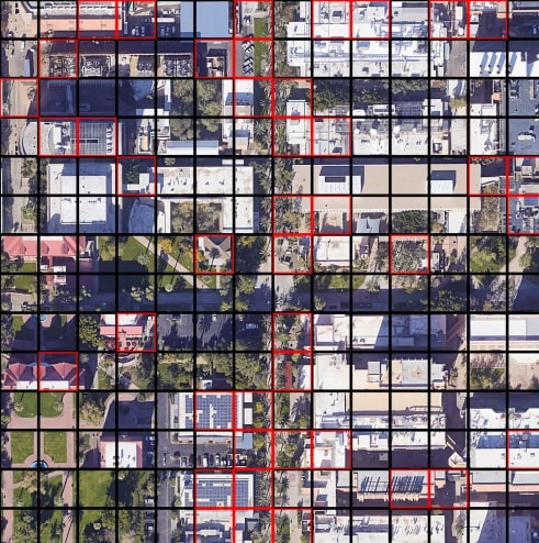
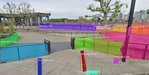
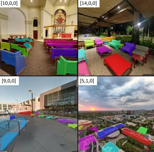
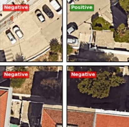
Abstract—How to find places that are not indexed by Google Maps? We propose an intuitive method and framework to locate places based on their distinctive spatial features. The method uses satellite and street view images in machine vision approaches to classify locations. If we can classify locations, we just need to repeat for non-overlapping locations in our area of interest. We assess the proposed system in finding Parkour spots in the campus of Arizona State University. The results are very satisfactory, having found more than 25 new Parkour spots, with a rate of true positives above 60%.
Figures
.jpg)
.jpg)
Bibtex
            @misc{morais2022parkourspotidfeature,
    title={Parkour Spot ID: Feature Matching in Satellite and Street view images using Deep Learning},
    author={João Morais and Kaushal Rathi and Bhuvaneshwar Mohan and Shantanu Rajesh},
    year={2022},
    eprint={2201.00377},
    archivePrefix={arXiv},
    primaryClass={cs.CV},
    url={https://arxiv.org/abs/2201.00377},
          }